Visited on 4 January 2013

I met this cat on a hot basalt wall whilst making my way up Macmurray Road
Mt Hobson is named after Captain William Hobson who was the first was the first Governor of New Zealand and co-author of the Treaty of Waitangi. This is the first mountain he climbed in Auckland. The Maori name is Remu-wera (from which the name of the suburb Remuera has been derived) meaning burnt edge of the skirt referring to an incident in the 1700’s when a young woman from Hauraki was killed and eaten at the pa near Dilworth College. Prior to this the mountain was called Ohinerangi meaning the dwelling place of Hinerangi.
2015 Edit: In September 2014 this Maunga was given the official Maori name of Ohinerau (goddess of whirlwinds) as part of the Treaty of Waitangi settlement with the Tamaki Makaurau Collective.

Some boys had been playing a game of cricket in the vacant section
Just south of Newmarket, the closest entrance to Mt Hobson Domain was through a vacant section on Dilworth Ave -there was a turnstile and a fairly well-beaten track through the grass so I figured it was ok.

View from where I’d walked up looking out over the Southern Motorway and Macmurray road
At 143 metres high it’s quite a visible volcano seen from the South Western Motorway and as such the northwestern slopes are often used by vandals. The flat-top appearance is not natural but merely the roof of a water reservoir installed in 1935

Mt Victoria, North Head and Rangitoto Island with Hobson Bay in the centre, bounded by Tamaki Drive and the Eastern rail line
Even though it’s Summertime the grass is still fairly green and long, being fluttered about by a fresh breeze rippling up the slopes.

The Trig
Isn’t this picture so vibrant and full of movement and energy? I tell you those clouds were fairly scudding and the grass was whipped into a frenzy of its own. We also seem to be on a flight path here and elevated so unusually close to the aeroplanes as they take off.

Looking down into the U-shaped crater (from the bottom of the U). One Tree Hill way off in the distance and Mt Saint John peeking round from the right.
Mt Hobson has a U shaped volcanic cone from where the lava busted through the southwestern side of the scoria cone.

A couple of kumara storage pits nestled near the top
The mountain was used by the Maori as a Pa site and evidence of this can still be seen in the kumara storage pits, which I managed to locate even with the long grass flowing every which way.

My shelter bush
Much as I do like the wind I seized this bush off the beaten track as an opportunity for a few minutes of peace. You can see it growing lopsidedly in the face of the prevailing wind and the difference either side is remarkable. I felt completely isolated on the mountain top and really thought I was until a jolly dog came gambolling along hotly pursued by his master.
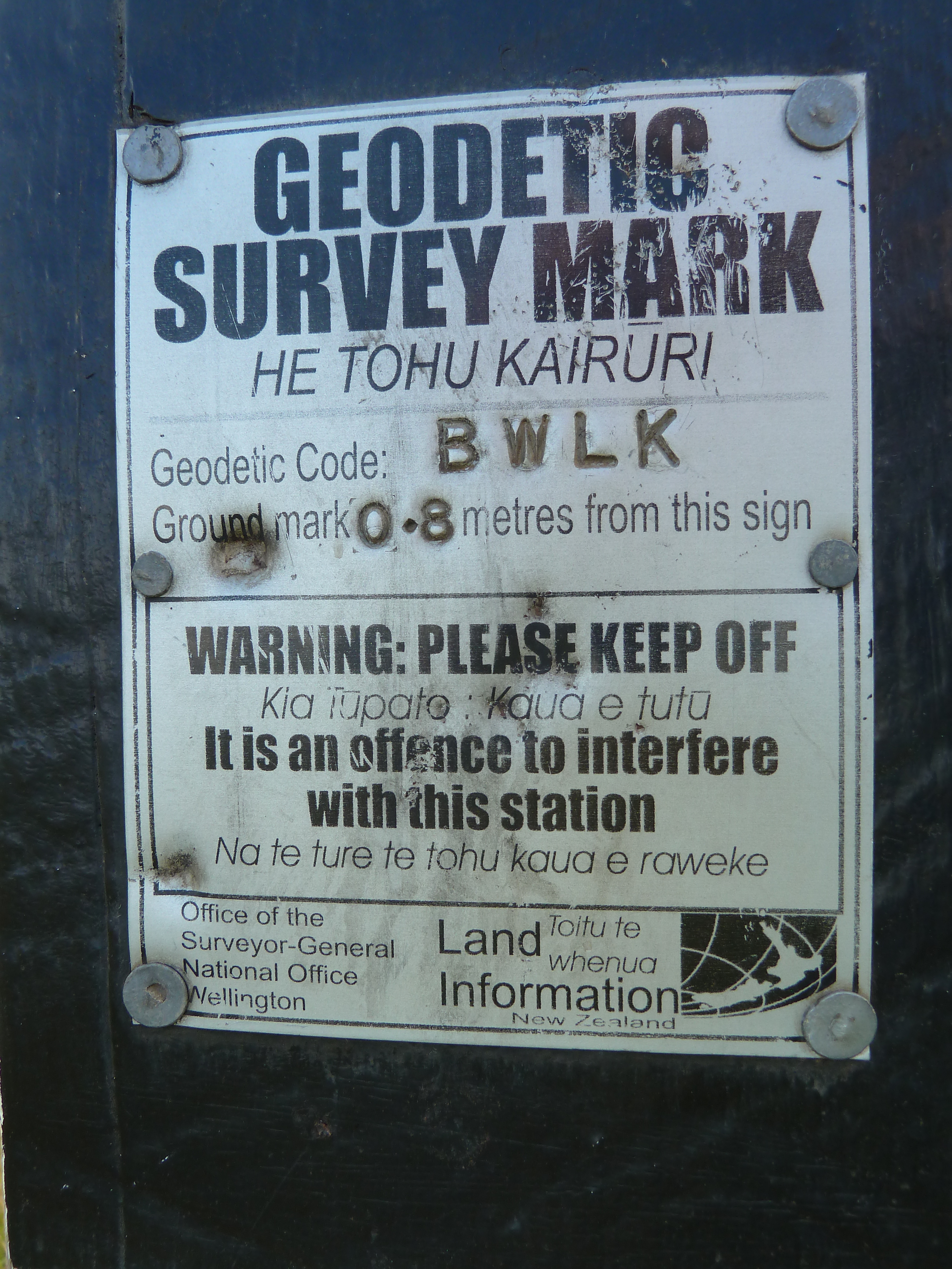
Geodetic Survey Mark

The well worn track along the ridge evidencing Mt Hobson’s volcanic origin…

…where I literally stumbled across this flattened spheroid little bomb
Descending down the well kept tracks on the northern side I came across this old Morton Bay fig tree and imagined how boys used to climb and play in it’s branches living the carefree life then growing up and joining the army, going off to fight in World War Two and never returning to their special tree.

The lovely old fig tree -pity about the graffiti

This is how far I can run in nine seconds using self timer
Overall I was really impressed with this one… Interesting shape, variety of plantings, volcanic boulders scattered here and there, retaining a mostly natural feel, stunning views over all of Auckland, just enough height to feel you’d done good for the soul but not overwhelmingly steep. “All obstacles in life are mere opportunities”.  Recommended for many memorial seats to rest and drink in the views and also the daffodil display in Spring (I think I’ve found an excuse to return).

Rustic sign calling me back in the Spring


